Our work
Projects and research
Geospatial systems, applied research and training that help Jamaica’s public health and environmental teams see where problems are and act on them.
 Systems & consultancy
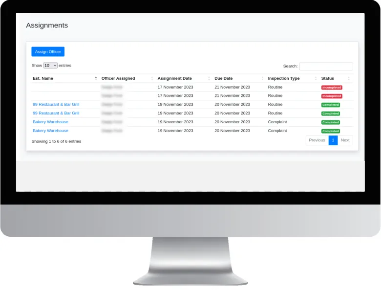
Food Safety Manager
A GIS-based system for planning, recording and monitoring food establishment inspections.
View project Systems & consultancy
Health Department GIS Transformation
Bringing mapping and spatial analysis into the everyday work of a parish health department.
View project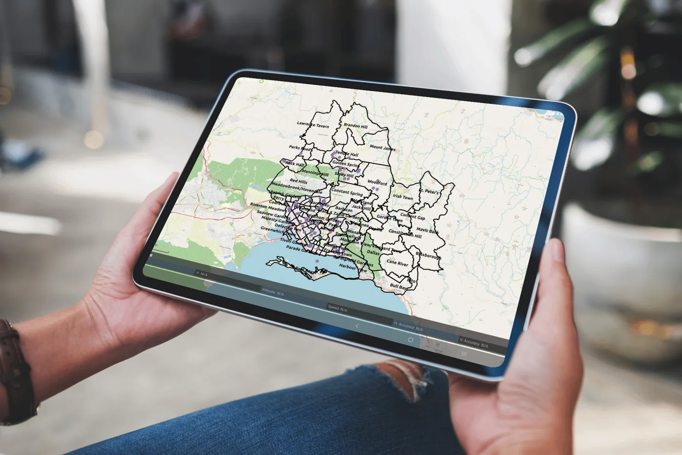 Systems & consultancy
Disease Mapping Dashboard
Interactive maps and analytics that show public health teams where cases are occurring.
View project Research
Aedes Mosquito Distribution Mapping
Mapping which Aedes mosquito species occur across Kingston and St Andrew, and where.
View project Research
Drone Surveillance of Anopheles Breeding Sites
Using drones, multispectral imaging and machine learning to find and monitor mosquito breeding sites.
View project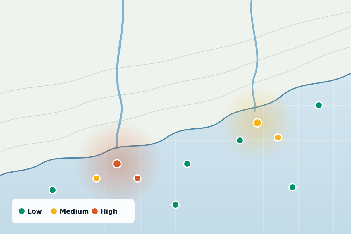 Research
Tracing Microplastics Across Jamaica
Mapping an invisible pollutant: where microplastics turn up in Jamaica’s water, and what it means for health.
View project Research
Rodent-borne Pathogens in the City
Investigating blood-borne pathogens in urban rodents, and how they could reach people.
View project Research
Toxoplasma in the Meat Supply
Measuring Toxoplasma in meat at slaughter places, and the practices that affect contamination.
View project Training
Advanced GIS and Programming for Public Health
A hands-on course in spatial statistics, remote sensing and programming for public health.
View project Training
GIS Applications to Research
An introduction to free, open-source GIS tools for field research.
View projectResearch projects are proposals open to funding and partnership. If you’d like to collaborate on or support one, get in touch.
Let’s build smarter together
Whether you’re a public health agency, a university or a private enterprise, SynerGIS helps you turn data into action. We collaborate on research, build GIS systems and deliver solutions for Jamaica’s sustainable future.