Free tools
Everything runs on free, open-source software.
Projects Training
An introduction to free, open-source GIS tools for field research.
Overview
A workshop that introduces researchers and field teams to GIS, and to free, open-source tools they can start using the same day.

What it covers
What GIS is, and how it developed.
Collecting field data with GPS Essentials: waypoints, tracks and point data.
Displaying field data on Google Maps.
Making publication-quality maps with QGIS.
Impact
Everything runs on free, open-source software.
Participants collect and map their own data.
More work
 Training
A hands-on course in spatial statistics, remote sensing and programming for public health.
View project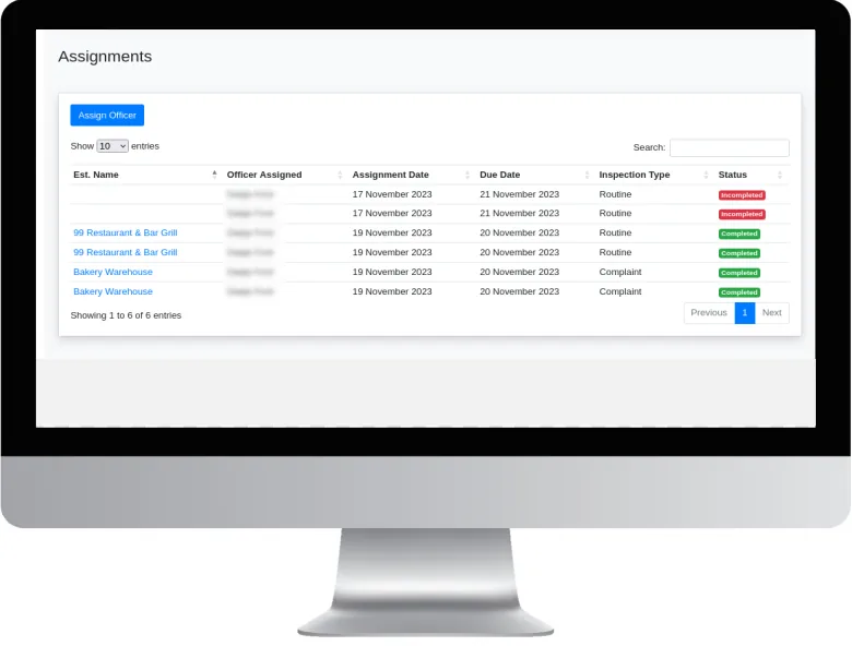 Systems & consultancy
A GIS-based system for planning, recording and monitoring food establishment inspections.
View project Systems & consultancy
Bringing mapping and spatial analysis into the everyday work of a parish health department.
View projectWhether you’re a public health agency, a university or a private enterprise, SynerGIS helps you turn data into action. We collaborate on research, build GIS systems and deliver solutions for Jamaica’s sustainable future.