Standardised inspections
One inspection procedure and data format across every area.
Projects Systems & consultancy
A GIS-based system for planning, recording and monitoring food establishment inspections.
Overview
Food establishment inspections are still largely done on paper, which leads to inconsistencies, delays and lost information. Food Safety Manager puts every establishment on a map, records inspections as they happen and reports on them automatically.
It began as a parish-level project of the Kingston & St Andrew Health Department’s GIS Transformation Unit. The MVP was built in 2023 for consideration by the Ministry of Health and Wellness, and a proposal sets out how to expand it into a national system.
How it works
Every food establishment is mapped, with its inspection history attached.
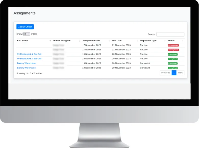
Supervisors assign inspections to officers, with an assignment date and a due date.
Officers record routine and complaint inspections as they carry them out.
Reports and maps update automatically, showing what is completed and what is outstanding.
Impact
One inspection procedure and data format across every area.
Track inspection activity and food safety issues on an interactive map.
Spatial analysis shows high-risk areas so inspections can be prioritised.
Automated data collection and reporting cut the administrative load.
More work
 Systems & consultancy
Bringing mapping and spatial analysis into the everyday work of a parish health department.
View project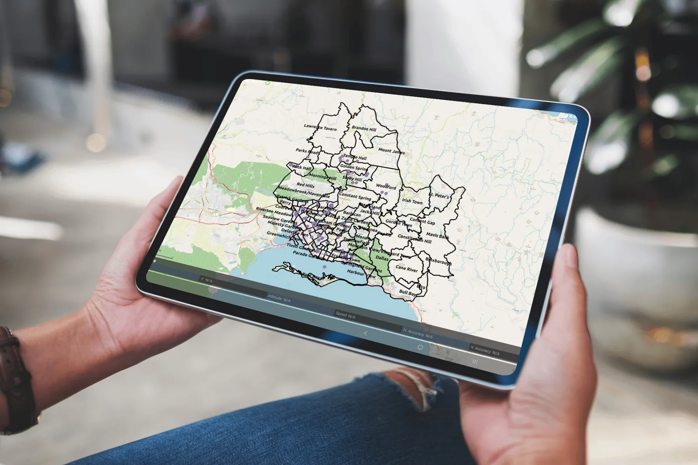 Systems & consultancy
Interactive maps and analytics that show public health teams where cases are occurring.
View project Research
Mapping which Aedes mosquito species occur across Kingston and St Andrew, and where.
View projectWhether you’re a public health agency, a university or a private enterprise, SynerGIS helps you turn data into action. We collaborate on research, build GIS systems and deliver solutions for Jamaica’s sustainable future.