An island-wide baseline
The first map of microplastic levels across Jamaica.

Projects Research
Mapping an invisible pollutant: where microplastics turn up in Jamaica’s water, and what it means for health.
Overview
Microplastics, fragments of plastic smaller than 5 mm, now turn up almost everywhere scientists look, and concern is growing about what they mean for human health. In Jamaica, very little has been measured.
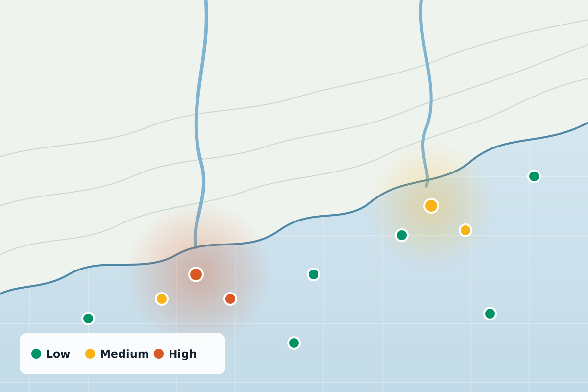
This study will build the first island-wide picture of microplastics in Jamaica’s water: where they occur, at what levels, and what can be done to reduce them.
Approach
Collect samples from sites across the island.
Count and characterise the microplastics in each sample.
Map the results to show where levels are highest and lowest.
Turn the findings into practical recommendations.
Impact
The first map of microplastic levels across Jamaica.
Where levels are highest, and where they are lowest.
Practical recommendations to reduce exposure and protect public health.
More work
 Research
Mapping which Aedes mosquito species occur across Kingston and St Andrew, and where.
View project Research
Using drones, multispectral imaging and machine learning to find and monitor mosquito breeding sites.
View project Research
Investigating blood-borne pathogens in urban rodents, and how they could reach people.
View projectWhether you’re a public health agency, a university or a private enterprise, SynerGIS helps you turn data into action. We collaborate on research, build GIS systems and deliver solutions for Jamaica’s sustainable future.