Species maps
Where each Aedes species occurs, and which predominate.

Projects Research
Mapping which Aedes mosquito species occur across Kingston and St Andrew, and where.
Overview
Aedes mosquitoes spread dengue, chikungunya, Zika and yellow fever. Jamaica has established populations of Ae. aegypti, Ae. albopictus and Ae. mediovittatus, but up-to-date information on where each species lives is limited.
This study maps the geospatial distribution and species composition of Aedes mosquitoes in Kingston and St Andrew. It combines ovitraps with digital field data collection and local weather data, giving vector control teams high-resolution information to target their work.

Approach
Place ovitraps across communities in the study area.
Record each collection digitally against its trap’s location.
Identify the species present, including any invasive species.
Combine the results with local weather data and map them by community.
Impact
Where each Aedes species occurs, and which predominate.
Communities compared by species make-up and susceptibility to outbreaks.
Data to guide vector control planning.
More work
 Research
Using drones, multispectral imaging and machine learning to find and monitor mosquito breeding sites.
View project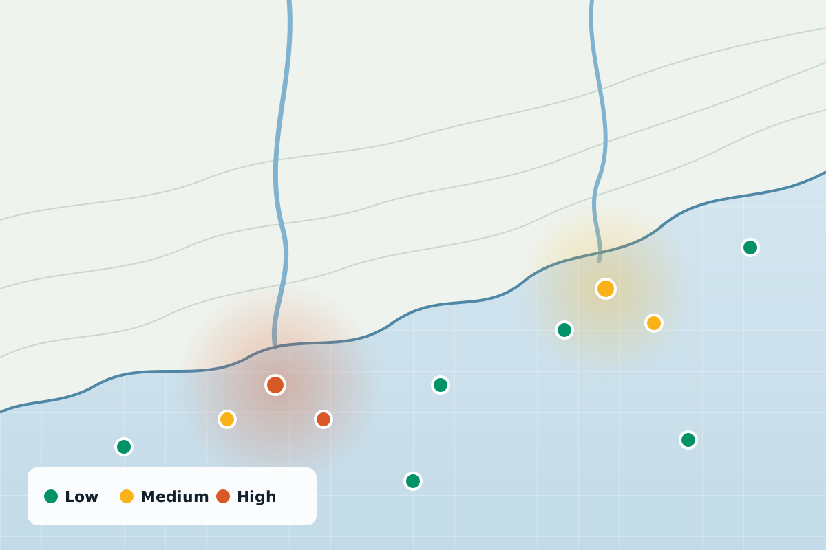 Research
Mapping an invisible pollutant: where microplastics turn up in Jamaica’s water, and what it means for health.
View project Research
Investigating blood-borne pathogens in urban rodents, and how they could reach people.
View projectWhether you’re a public health agency, a university or a private enterprise, SynerGIS helps you turn data into action. We collaborate on research, build GIS systems and deliver solutions for Jamaica’s sustainable future.