Data on the map
Programme data linked to places, not just spreadsheets.
Projects Systems & consultancy
Bringing mapping and spatial analysis into the everyday work of a parish health department.
Overview
In 2022 SynerGIS led GIS transformation initiatives at the Kingston & St Andrew Health Department, through the department’s GIS Transformation Unit.
The aim was to replace manual, paper-based processes with location-aware digital tools, so that environmental health teams could see where problems are and plan their work around them. Food Safety Manager was developed as part of this work.

What the work covered
Reviewing how programmes collect and use location data.
Introducing GIS mapping and spatial analysis into programme work.
Building digital tools around real field workflows, starting with food safety inspections.
Planning phased roll-outs, pilot first, with staff training.
Impact
Programme data linked to places, not just spreadsheets.
Patterns and areas of concern visible at a glance.
An approach other parishes can follow.
More work
 Systems & consultancy
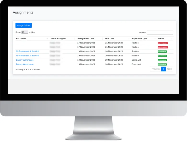
A GIS-based system for planning, recording and monitoring food establishment inspections.
View project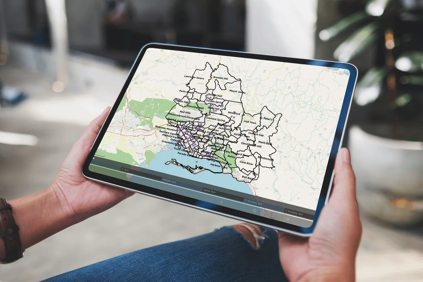 Systems & consultancy
Interactive maps and analytics that show public health teams where cases are occurring.
View project Research
Mapping which Aedes mosquito species occur across Kingston and St Andrew, and where.
View projectWhether you’re a public health agency, a university or a private enterprise, SynerGIS helps you turn data into action. We collaborate on research, build GIS systems and deliver solutions for Jamaica’s sustainable future.