Breeding-site maps
Accurate, up-to-date maps of where Anopheles breed.

Projects Research
Using drones, multispectral imaging and machine learning to find and monitor mosquito breeding sites.
Overview
Jamaica is malaria-free, but Anopheles albimanus, a competent malaria vector, is still present, so the threat of reintroduction remains. Finding breeding sites on foot is slow and labour-intensive, and hard-to-reach areas get missed.
This study develops and evaluates a drone-based system to identify, map and monitor Anopheles breeding sites in Kingston and St Andrew, and compares it with traditional surveillance.

Approach
Survey the study area by drone, with multispectral imaging.
Train machine-learning models to recognise likely breeding sites.
Repeat the surveys across seasons.
Compare the results with traditional field surveillance.
Impact
Accurate, up-to-date maps of where Anopheles breed.
Hard-to-reach areas surveyed in a fraction of the time.
A method other territories facing the same risk can adopt.
More work
 Research
Mapping which Aedes mosquito species occur across Kingston and St Andrew, and where.
View project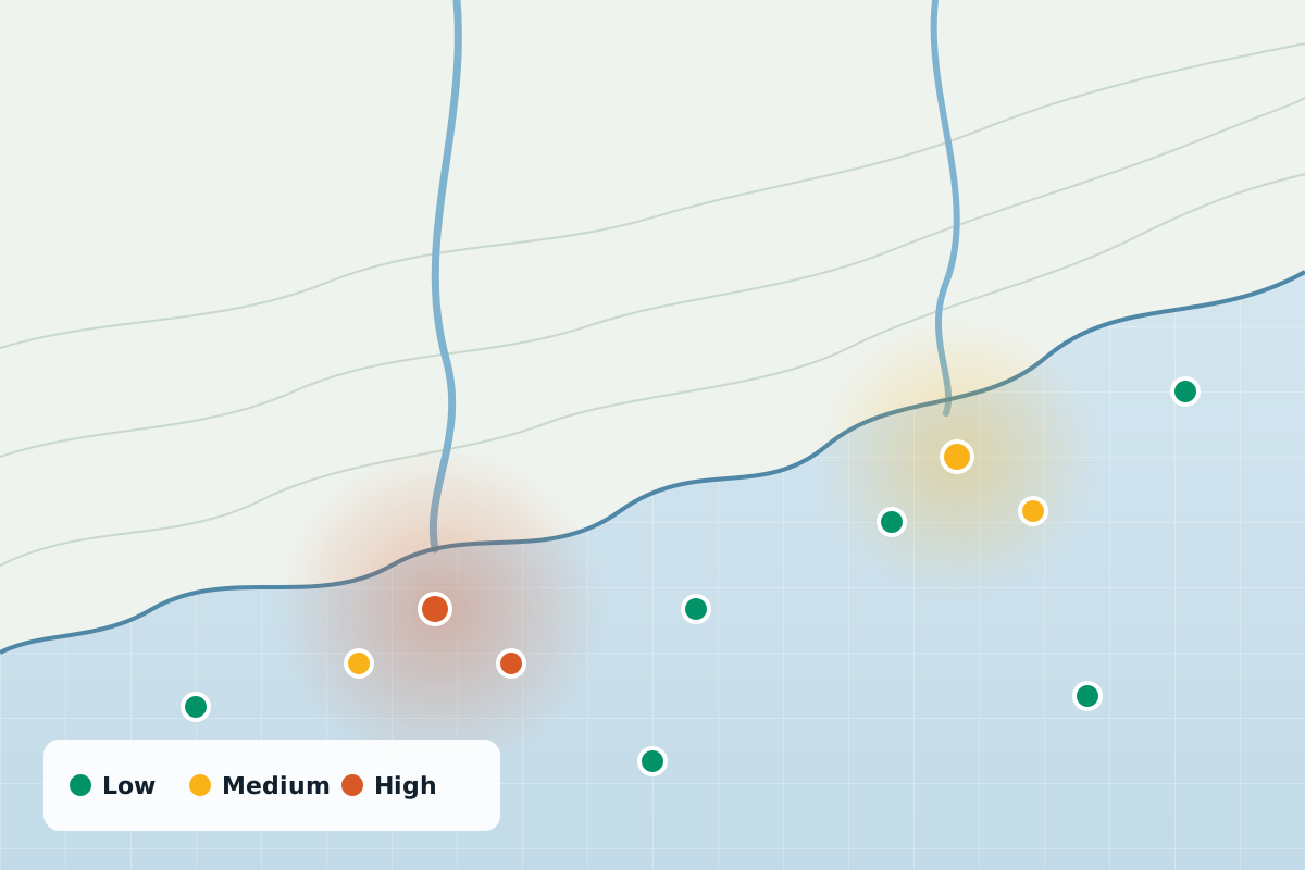 Research
Mapping an invisible pollutant: where microplastics turn up in Jamaica’s water, and what it means for health.
View project Research
Investigating blood-borne pathogens in urban rodents, and how they could reach people.
View projectWhether you’re a public health agency, a university or a private enterprise, SynerGIS helps you turn data into action. We collaborate on research, build GIS systems and deliver solutions for Jamaica’s sustainable future.