Hands-on
Exercises and sample code in every module.
Projects Training
A hands-on course in spatial statistics, remote sensing and programming for public health.
Overview
A practical course for public health professionals who want to go beyond basic maps. Each module pairs the concepts with step-by-step exercises, sample code and recommended resources.
Modules
Spatial autocorrelation: Moran’s I, Geary’s C and Getis-Ord G.
Spatial regression: spatial lag and spatial error models.
Spatial clustering and hot spots: K-means, DBSCAN and Getis-Ord Gi*.
Remote sensing for environmental health: disease surveillance, environmental monitoring, land use and land cover.
Satellite imagery: processing Landsat imagery with Google Earth Engine and QGIS, including land-cover classification.
Impact
Exercises and sample code in every module.
Built on QGIS and Google Earth Engine.
Every example comes from environmental and public health.
More work
 Training
An introduction to free, open-source GIS tools for field research.
View project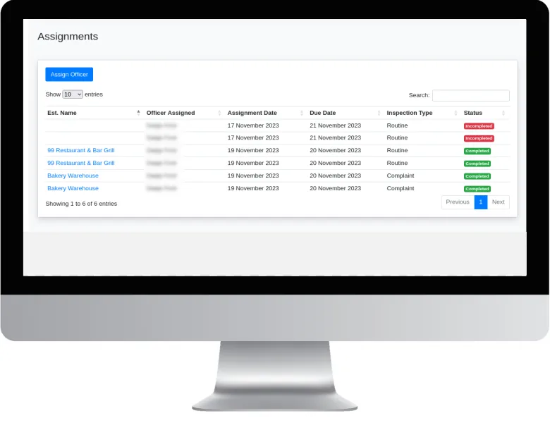 Systems & consultancy
A GIS-based system for planning, recording and monitoring food establishment inspections.
View project Systems & consultancy
Bringing mapping and spatial analysis into the everyday work of a parish health department.
View projectWhether you’re a public health agency, a university or a private enterprise, SynerGIS helps you turn data into action. We collaborate on research, build GIS systems and deliver solutions for Jamaica’s sustainable future.